Were the Andes Break the Sea
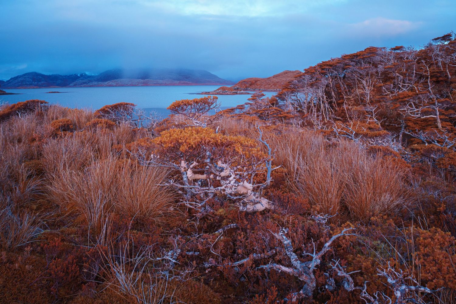
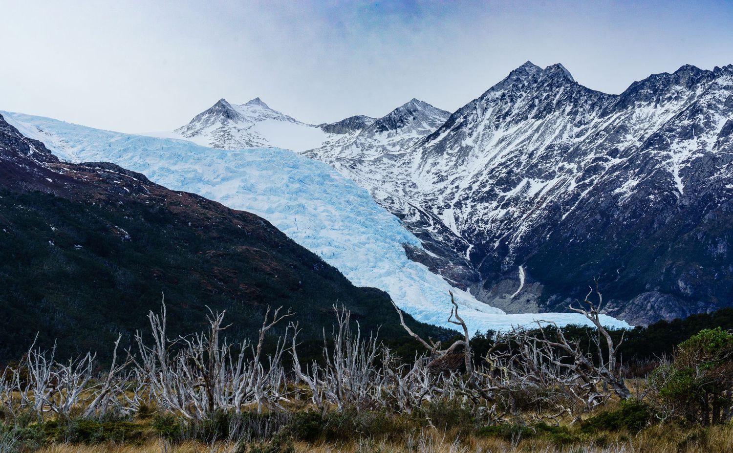
At the far south of Chile, the Andes meet their end not in summits but in water. Here the mountains collapse into the Pacific, breaking into a labyrinth of fjords, channels, and islands where the continent dissolves into the sea.
Between Puerto Edén and Cape Horn, this is a territory of storms, glaciers, and silence. The land and ocean weave into each other — forests rooted in salt, waterfalls falling straight into tidewater, and clouds that move like tides themselves. The few who live here, sailors and fishermen mostly, navigate by memory and instinct through waters where maps are more suggestion than truth.
Our journey followed these channels south, guided by a Captain who know every rock and gust. We crossed narrow passes flanked by steep, rain-soaked cliffs, sailed beneath hanging glaciers, and anchored in hidden coves where time seemed to stop. Days blurred into long, shifting light — the kind that never quite becomes night.
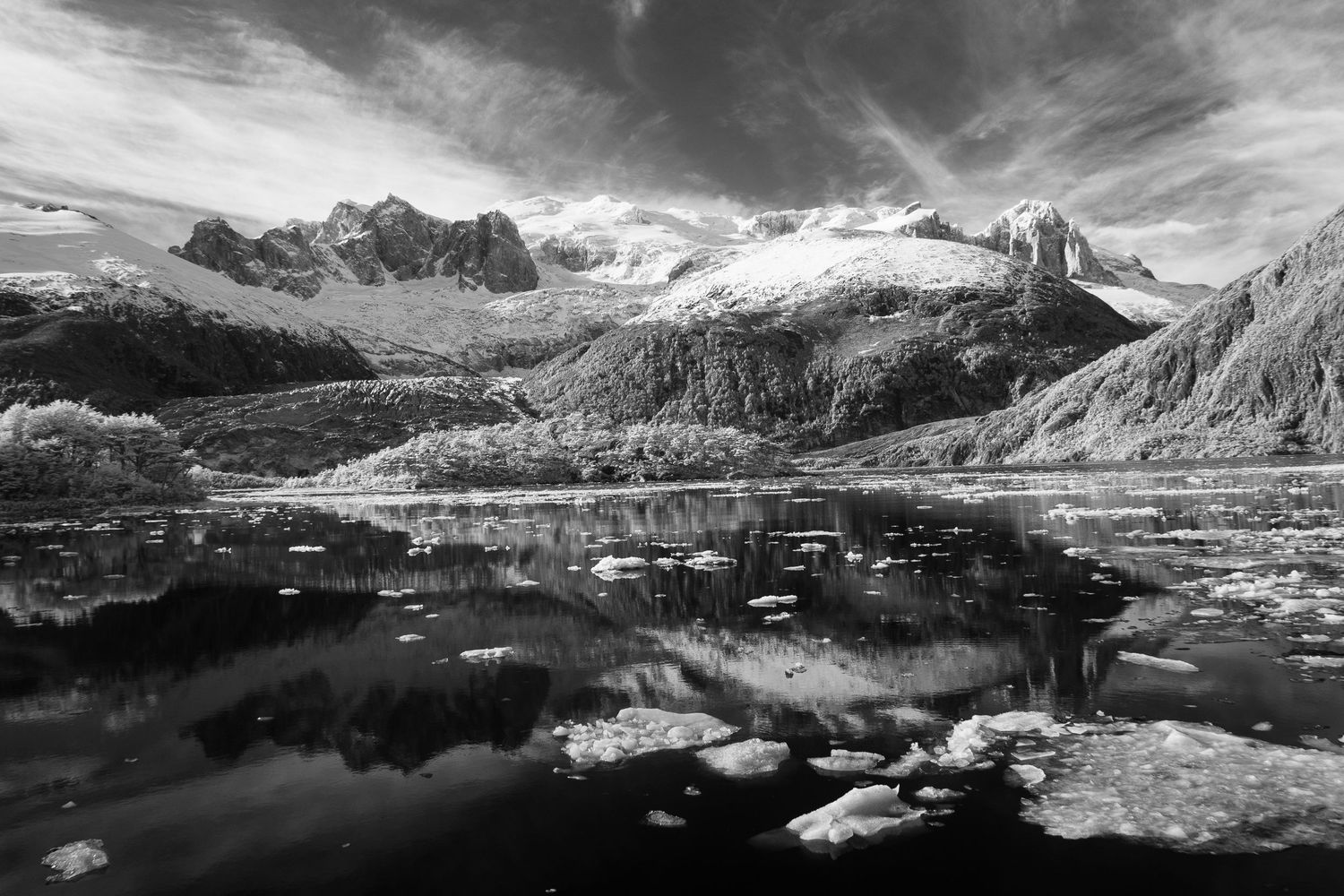
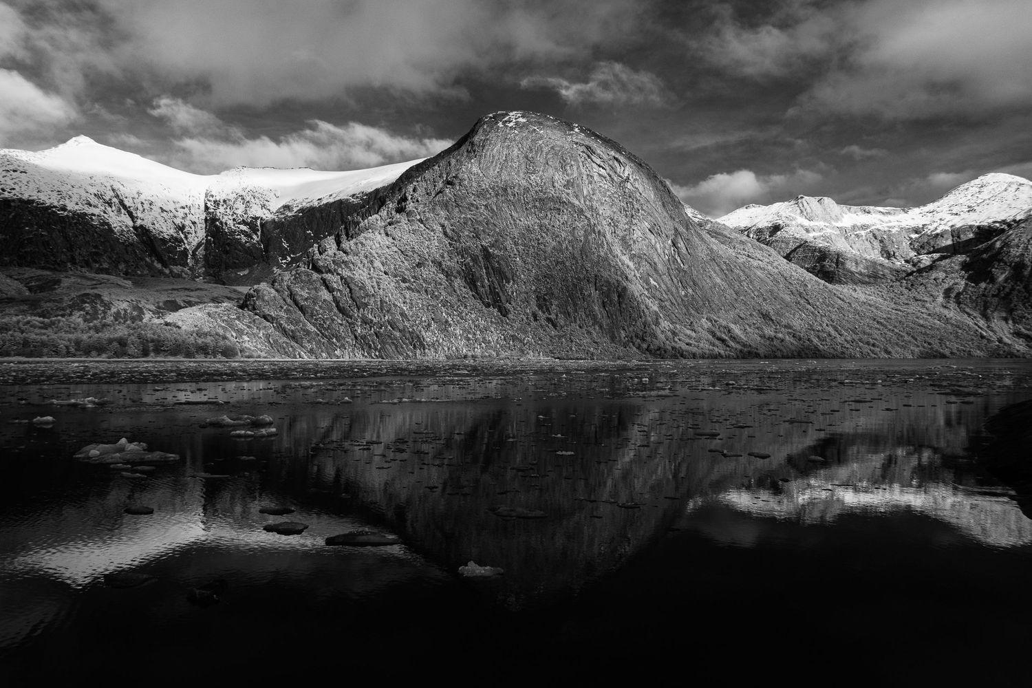
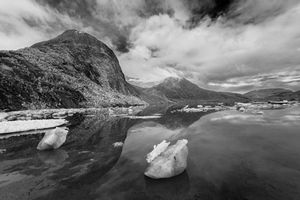
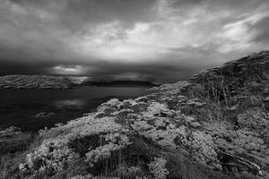
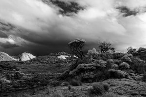
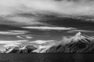
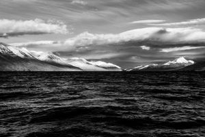
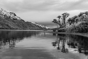
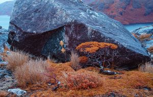
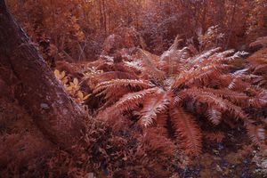
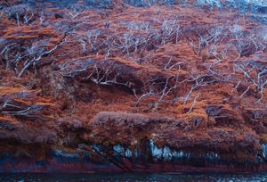
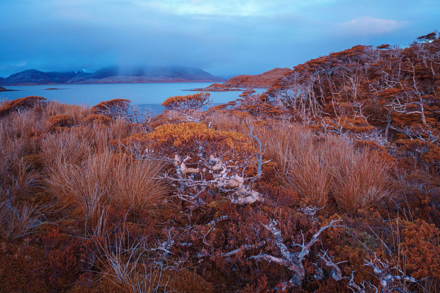
Through infrared, this world takes on another dimension. The forests glow white against black water, mountains fade into mist, and even the sea seems to breathe light. What emerges is not a record of geography but a meditation on edges — where the Andes, unwilling to end, dissolve into the ocean and become part of it.
Location
The southern fjords of Chile, between Puerto Edén and Cape Horn, form a vast maze of channels, islands, and glaciers where the Andes descend into the Pacific. Here, the mountains no longer rise—they dissolve. Granite peaks plunge into dark water, waterfalls fall directly into the sea, and glaciers drift like slow, breathing animals.
Rain and wind shape everything, erasing the line between land and sky. The air carries salt, moss, and the scent of cold iron. It is a landscape of constant motion and immense stillness—a place where the continent ends not with a border, but by giving way.
The Beagle Channel cuts east–west through this southern labyrinth, separating the main island of Tierra del Fuego from the smaller islands to the south. Long before it appeared on charts, these waters were traveled by the Yaghan people in bark canoes, guided by tides, wind, and memory. In the 1830s, HMS Beagle navigated these same channels during its surveying voyages, carrying Charles Darwin as he observed a world shaped as much by slow change as by sudden force. The landscapes he encountered here—raw, unstable, and unfinished—would later inform his thinking about time, adaptation, and transformation. Today, the channel remains less a passage than a threshold, where land, sea, and weather are in constant negotiation.
Journey
Under de leadership of Guy Wenborne, our journey unfolded aboard the Vegvísir, a sailboat helmed by Captain Pablo Merino, first mate Christian Arghord and second mate Evelyn Silva . Designed for the southern seas, she was made to endure what these latitudes demand — unpredictable winds, shifting tides, and the endless rain that blurs sea and sky.
From her deck we navigated through narrow fjords and open gulfs, tracing routes once followed only by fishermen and the occasional passing albatross. Nights were spent anchored in hidden coves beneath glaciers that creaked in the dark; mornings began with the hiss of rain on metal and the slow glow of light returning through the mist. Vegvísir carried us through a landscape still forming itself — a vessel not only for travel, but for listening to the silence between wind and water.
Darwin in the Beagle Channel
The Beagle Channel entered map charts through slow navigation and close observation. During the early 19th century, British naval expeditions mapped this southern maze of water and mountains, recording coastlines where the Andes descend directly into the sea. Among those who moved through these waters was Charles Darwin, traveling aboard HMS Beagle between 1832 and 1834.
Darwin’s experience of the channel was cumulative rather than momentary. Over several passages spread across different seasons, the ship advanced through narrow waterways where steep slopes fall directly into dark water, glaciers reach the shoreline, and weather dictates movement. These same conditions define the photographs in this series: compressed horizons, abrupt transitions between land and sea, and a constant sense of scale that resists human measure.
For Darwin, the region functioned as a field of observation rather than conquest. He recorded a landscape shaped by pressure and time—rock worn by ice, forests bent by wind, coastlines in slow transition. The photographs echo this persistence. Light shifts quickly, surfaces show wear rather than decay, and the boundary between land and water remains unresolved.
The voyage also carried a human experiment shaped by displacement. HMS Beagle was returning several Fuegian individuals who had previously been taken to England as part of an attempt at cultural “civilization.” Among them was Fuegia Basket, a young Yaghan woman who had lived in Europe for nearly two years, spoke English, and had briefly adopted European customs.
The reinsertion failed. The attempt to establish a small mission in the channel collapsed within months as contact deteriorated and the imposed framework proved unsustainable. Fuegia Basket died shortly after her return, most likely from infectious disease. The remaining individuals, including Jemmy Button, abandoned European language, clothing, and practices. Darwin recorded the episode as evidence of the limits and risks of forced cultural transplantation.
Nearly two centuries later, the geography remains unchanged in its demands. The Beagle Channel still requires restraint, attention, and patience. These photographs follow that same logic—moving slowly, accepting uncertainty, and allowing the landscape to assert itself. Here, as in Darwin’s time, passage is defined less by discovery than by observation.